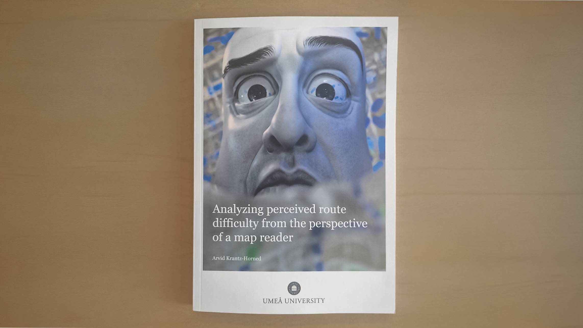
Arvid Krantz-Horned defends his doctoral thesis “What Looks Difficult to Navigate on a Map? An Analysis of Perceived Route Difficulty From the Perspective of a Map Reader“, at Umeå University on 23 October.
Abstract
To find out how we can navigate somewhere, we can today use navigation services like Google Maps to get route suggestions to a given destination. These routes are often visualized as a line representing a path we can take when navigating to a destination in the environment depicted on a map. By reading this map, we can get an impression, or infer, what navigating the suggested route might entail and how difficult it might be, before we start navigating.
Although it is not uncommon to use navigation services to look up route suggestions, there is very little research examining the perceived difficulty of navigating a route, or what is perceived as difficult, from this perspective. A deeper understanding of this is important to grasp how navigation services influence how we navigate and how they can help us overcome or clarify what is perceived as difficult, since route suggestions can be used to learn how to navigate to a destination or to inform decisions about how we navigate.
In this thesis, we investigate how different factors related to the route and the environment it is in influence how difficult a route appears to navigate, from the perspective of a map reader who has not yet started navigating. This includes an analysis of how factors related to the difficulty of navigating a route, and how complex an environment is, may influence the perceived difficulty of a route. Additionally, we also explore what new factors might affect the perceived difficulty of a route from the perspective of a map reader and what map readers describe that they perceive as difficult to navigate on a map.
To measure factors that may influence the perceived difficulty of a route on a map, we use computational methods based on network analysis and urban design. Furthermore, we develop and evaluate a computational method for measuring the alignment of a route with respect to the street network it is in, as a new factor that may influence the perceived difficulty of a route.
Supervisors
Kai-Florian Richter, Associate Professor, Umeå University
Opponent
Ioannis Giannopoulos, Professor, Department of Geodesy and Geoinformation, TU Vienna, Austria